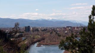
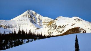
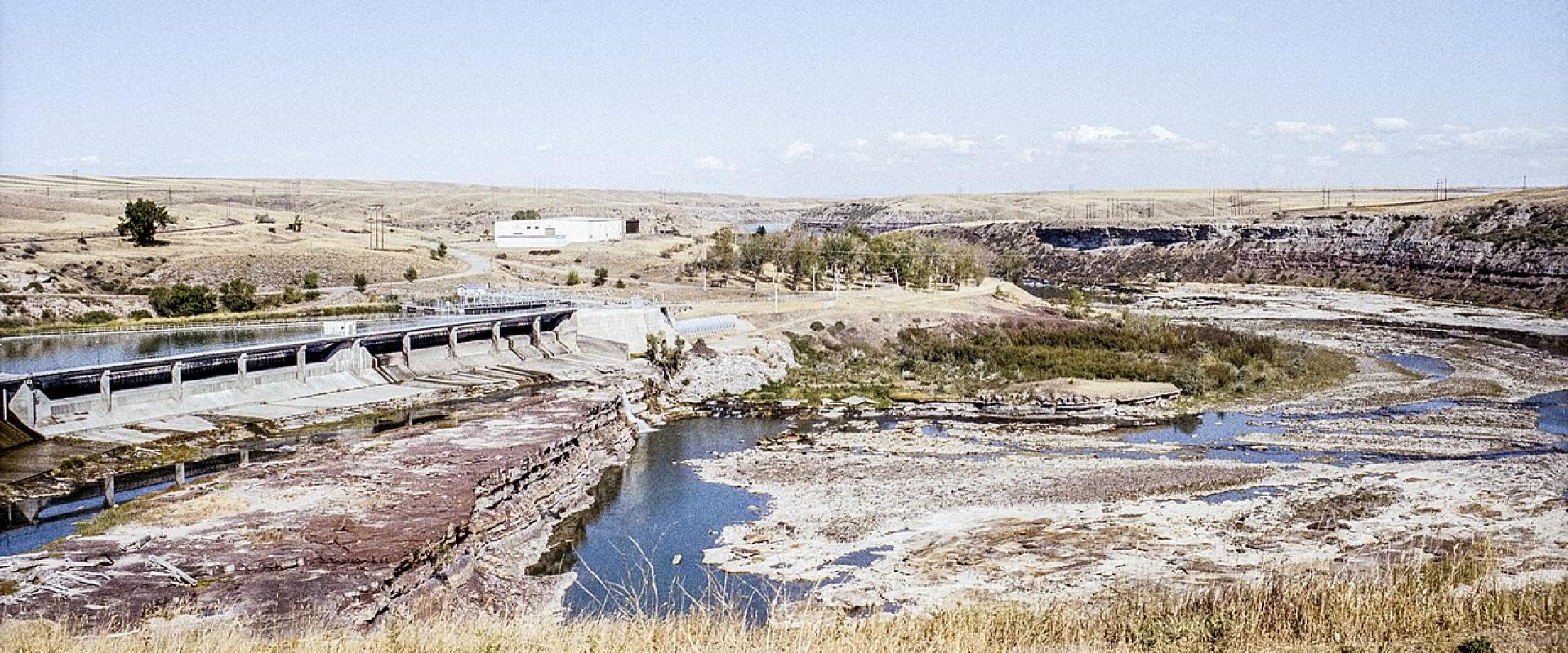
Montana's weather depends on which side of the Continental Divide you are on and how high you are. West of the Divide, in valleys such as Missoula, Kalispell and the Bitterroot, Pacific air keeps winters milder and cloudier. East of it, on the plains around Great Falls, Billings and Miles City, the climate is continental: hotter summers, sharper cold snaps when Arctic air spills south, and chinook winds that can melt the snow in an afternoon.
Elevation matters as much as region. West Yellowstone sits at about 6,667 feet and averages a January low near 0 °F, while Billings, at about 3,200 feet, rarely stays that cold for long. Snow can fall on the high passes in any month, so pack for the place you are going, not the month.
West vs east of the Divide
- West (Glacier Country): milder, damper winters with more cloud; warm, dry summers. Valley towns get modest snow, but the mountains above them get a lot. Missoula's airport averages 43 inches of snow a year.
- East (Central, Southeast and Missouri River Country): semi-arid. Billings and Great Falls each get under 15 inches of precipitation a year, mostly in late spring and early summer thunderstorms. Winters bring both the coldest outbreaks and the warmest chinook spells.
- Southwest and Yellowstone Country: high valleys and mountain towns. Bozeman is wetter and snowier than the plains, and West Yellowstone has a true subalpine climate.
Normals for five Montana towns
NOAA 1991–2020 normals, as published in each town's climate table (station in brackets).
| Town (station) | Jan high / low | Jul high / low | Precipitation | Snowfall |
|---|---|---|---|---|
| Missoula (airport) | 31.6 / 18.0 °F | 85.4 / 51.5 °F | 14.1 in | 43.0 in |
| Bozeman (Montana State University) | 34.2 / 15.1 °F | 82.1 / 51.7 °F | 20.0 in | 91.3 in |
| Billings (Logan airport) | 36.0 / 17.9 °F | 87.3 / 59.3 °F | 14.3 in | 57.4 in |
| Great Falls (airport) | 35.3 / 15.0 °F | 84.3 / 51.4 °F | 14.8 in | 66.1 in |
| West Yellowstone | 26.8 / 0.2 °F | 79.7 / 39.2 °F | 26.0 in | n/a |
What the table shows:
- Summer nights are cool almost everywhere. A July low of 51 °F in Missoula and 39 °F in West Yellowstone means a fleece in the evening, even after a day in the 80s.
- Billings is the warmest big city in summer, with July nights near 59 °F.
- Bozeman gets about twice Missoula's snowfall (91 inches against 43) despite similar winter temperatures; its station sits about 1,600 feet higher.
- Great Falls summer days can swing more than 30 °F between dawn and afternoon.
Chinook winds
Chinooks are warm, dry, downslope winds that pour off the Rocky Mountain Front onto the plains, mostly in winter. They can lift temperatures by tens of degrees in hours, then drop away just as quickly.
- World record: at Loma, northeast of Great Falls, the temperature rose from −54 °F to 49 °F between January 14 and 15, 1972, a 103 °F change in 24 hours. NOAA's National Climate Extremes Committee ratified it in 2002 as the largest 24-hour change recorded in the US.
- Great Falls averages about 15 days with afternoon highs above 50 °F during the three winter months, thanks to chinooks.
- Billings: chinooks mean snow rarely builds up or lasts long on the ground.
- Downside: chinooks bring strong gusts. High-profile vehicles on US-89 and I-15 along the Front can be pushed around, and blowing snow can close roads when Arctic air returns.
Mountain weather
The parks sit far above the valley towns, so their weather runs weeks behind.
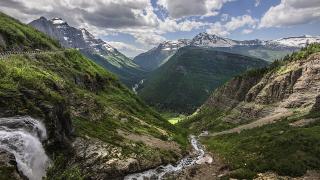
- Logan Pass in Glacier is at 6,646 feet. When Going-to-the-Sun Road opened on June 22, 2026, snow was still closing the Highline Trail.
- Beartooth Highway crests at 10,947 feet at Beartooth Pass (just over the line in Wyoming). The 2026 season ended on October 9, earlier than planned, because of weather.
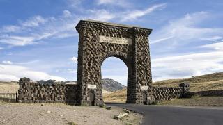
- Yellowstone's Montana entrances are high: Gardiner about 5,939 feet, West Yellowstone about 6,667 feet, Cooke City higher still. West Yellowstone's average July low is 39 °F, so summer nights can come close to freezing.
- Afternoon thunderstorms are common in July and August in the mountains. Start big hikes early and be off exposed ridges by early afternoon.
Montana's lowest recorded temperature, −70 °F at Rogers Pass on January 20, 1954 (still the record for the lower 48 states), is a reminder of what winter can do above the valleys.
Winter driving
Winter conditions run from November to March in most of the state and longer on passes. Montana's speed limits (80 mph on rural interstates, 70 mph by day on other highways) are maximums for dry roads.
- Check road reports on MDT's 511 service (511mt.net or dial 511) before crossing passes such as Lookout, Homestake, Bozeman and Marias.
- In winter only Yellowstone's North to Northeast road is open to cars, ending at Cooke City.
- Carry warm layers, food, water and a charged phone; distances between towns on the plains can exceed 50 miles.
Wildfire smoke
Smoke is now part of most Montana summers. It drifts in from fires in Montana, Idaho, Washington, Oregon, California and Canada, usually from late July into September, though it can come earlier: Canadian smoke pushed some north-central monitors to "Unhealthy" in June 2025. The Montana DEQ posts daily air quality and smoke forecasts at todaysair.mtdeq.us. On bad days, swap a long hike for a museum day and check again in the afternoon, as conditions can change quickly.
What to pack by season
- Summer: sun hat, sunscreen (high altitude), rain shell, warm layer for cool nights, and an N95 mask in case of smoke.
- Spring and autumn: insulated jacket, hat and gloves, waterproof boots; expect anything from 70 °F sun to snow in the same week.
- Winter: proper winter coat, insulated boots, traction devices for icy streets, and an emergency kit in the car.
Before you go
- Check the National Weather Service point forecast for the exact trailhead or pass, not just the nearest town.
- Look up AQI on todaysair.mtdeq.us during summer.
- Check MDT 511 for road conditions between November and April.
- Pack a warm layer even in July.
Details checked October 2026.