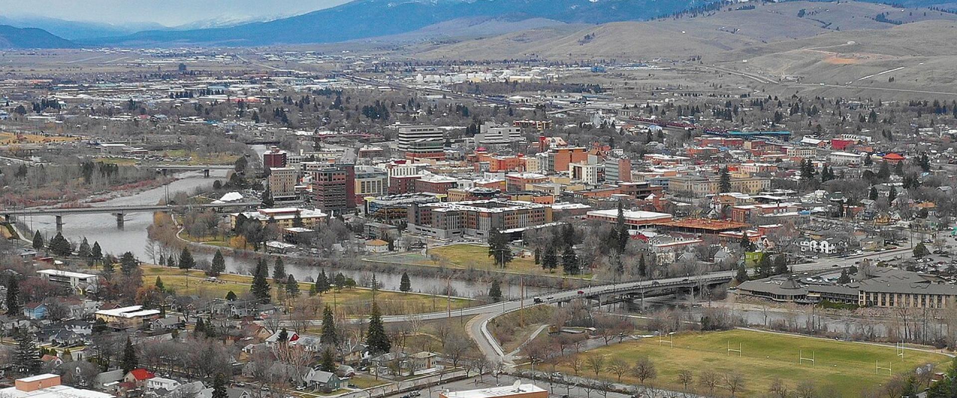
Missoula
University city where three rivers meet, with trailheads on the edge of town
History Missoula grew from the Hellgate Trading Post, founded in 1860. The name came from the canyon east of town, which French trappers called the "Porte de l'Enfer". The settlement sat at the junction of several river valleys, and that position made it a trading and later a railroad and timber town. In 1893 the state chose Missoula for the University of Montana, which still shapes the city's calendar and population. The US Forest Service also based its smokejumper programme here, and Missoula remains the headquarters of that service.
What to See A Carousel for Missoula stands in Caras Park beside the Clark Fork. Cabinet maker Chuck Kaparich started the project in the late 1980s, taught volunteers to carve, and the carousel opened on May 27, 1995, after roughly 100,000 hours of volunteer work. Its frame dates from 1918. The Smokejumper Visitor Center, next to the airport, offers free guided tours of the working base. Its hours shrink after Labor Day and it has closed in midwinter, so call 406-329-4934 before going outside summer. Downtown and the university campus are close enough to walk between, with the river trail running along both banks of the Clark Fork.
Outdoors The M Trail starts on the University of Montana campus near Washington-Grizzly Stadium and climbs about 620 feet in roughly three-quarters of a mile, on 11 switchbacks, to the concrete "M". Hikers who continue gain about another 1,300 feet to the top of Mount Sentinel, at about 5,158 feet. Dogs are allowed on a leash. In winter, Montana Snowbowl lies about 12 miles northwest of town with a vertical drop of about 2,600 feet. About an hour north, the CSKT Bison Range at Moiese has been managed by the Confederated Salish and Kootenai Tribes since 2022. It covers about 18,524 acres with about 350 adult bison, and its Red Sleep Mountain Drive is open only in summer, roughly May to October.
Getting There Missoula Montana Airport (MSO) is about 5 miles by road from downtown. It passed one million passengers in 2024 and set a monthly record of 142,399 passengers in July 2026. Interstate 90 runs through the city. Hamilton is about 51 miles south up the Bitterroot Valley on US-93, and Glacier National Park's west entrance is about 137 miles north by road. Interstate speed limits in Montana are 80 mph outside urban areas and 65 mph inside them.
When to Go June to September is the season for hiking, river floating and day trips to Flathead Lake and the Bison Range's summer drive. Winter brings skiing at Snowbowl and quieter streets, but some attractions, including the Smokejumper Visitor Center, cut back their hours. Glacier National Park's Going-to-the-Sun Road usually opens fully in late June and stays open until about the third Monday of October, weather permitting, which sets the season for anyone using Missoula as a base for the park.
Best time to visit
June to September for hiking, rivers and Glacier day trips; December to March for skiing at Montana Snowbowl.
What to see in Missoula
Our picks first.
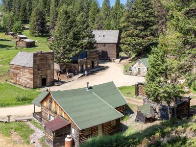
Garnet Ghost Town
1890s gold camp in the Garnet Range, 40 miles from Missoula, with winter-only cabins
From $10 Historic Sites · Ghost Towns
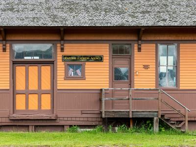
Historical Museum at Fort Missoula
1877 army post with a WWII internment camp story and 20-plus historic buildings
From $3 Historic Sites · Museums
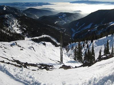
Montana Snowbowl
Missoula's local ski hill: 2,600 feet of vertical, 12 miles from town, old-school lifts
From $10 Outdoor Recreation · Ski Areas
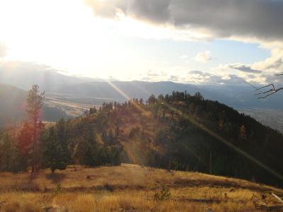
Mount Sentinel M Trail
Eleven switchbacks up to the University of Montana's concrete M, 620 feet above town
Free Hiking Trails · Mountain Peaks
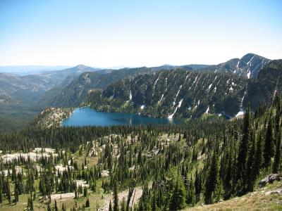
Rattlesnake National Recreation Area and Wilderness
Wilderness trailhead 5 miles from downtown Missoula, with a creekside path and high lakes
Outdoor Recreation · Wildlife Viewing
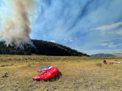
Missoula Smokejumper Visitor Center
Free tours of the working Forest Service base where smokejumpers pack and fly
Free Historic Sites · Museums
Missoula by interest
The same sights, grouped by what you came for.
Planning a visit to Missoula
Good to know
- Currency
- USD
- Language
- English