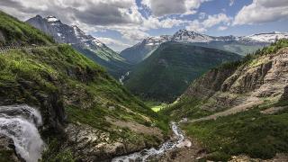
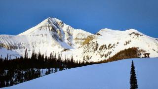
Most visitors to Montana see Glacier, the Yellowstone gateways and the I-90 towns between them. The rest of the state, especially the plains east of Great Falls and Billings and the forested north-west corner, gets a small share of the traffic, and some of its best sights get very few visitors at all: badlands with dinosaur fossils, a river canyon that Lewis and Clark described in 1805, sandstone towers Theodore Roosevelt praised, and a million-acre wilderness with no roads.
These places are quiet for a reason. Distances are long, services are thin, and several are reached on gravel or clay roads that turn impassable after rain. Each section below gives the season and the access warnings that matter. Distances are road miles from a router and are approximate.
At a glance
| Place | Nearest town | Best season | Access warning |
|---|---|---|---|
| Hi-Line (US-2) | Havre, Malta, Glasgow | May to October | Long gaps between services |
| Upper Missouri River Breaks | Fort Benton | June to September | Many roads impassable when wet |
| Makoshika State Park | Glendive | April to October | Badlands clay is slick after rain |
| Medicine Rocks State Park | Ekalaka | May to October | Dirt roads inside the park |
| Garnet and Granite ghost towns | Missoula, Philipsburg | June to September | Gravel; Granite needs high clearance |
| Bob Marshall Wilderness | Choteau, Augusta, Seeley Lake | July to September | Foot or horse only |
| Kootenai Falls and the Yaak | Libby, Troy | June to October | No cell signal in the Yaak |
The Hi-Line
US-2 runs across northern Montana, beside the BNSF railway that Amtrak's Empire Builder follows. East of the mountains it passes wheat country and small railroad towns: Havre, Chinook, Malta, Glasgow and Wolf Point all have Amtrak stops.
- Bear Paw Battlefield: about 16 miles south of Chinook, part of Nez Perce National Historical Park. It marks the siege that began on September 30, 1877, and the Nez Perce surrender on October 5. There is no visitor centre on site; the Blaine County Museum in Chinook serves as the information point, and the battlefield has a self-guided trail.
- Slippery Ann elk viewing: on the Charles M. Russell National Wildlife Refuge, about 75 miles from Malta, hundreds of elk gather from mid-September into early October.
- Fort Peck: the Fort Peck Interpretive Center near Glasgow covers the 1930s dam.
Distances: Great Falls to Havre is about 114 miles, Havre to Malta about 89, and Malta to Glasgow about 70. Fill up in each town.
Upper Missouri River Breaks National Monument
The BLM monument covers about 377,000 acres of white sandstone cliffs, badlands and cottonwood bottoms along the Missouri below Fort Benton. This stretch of the river was designated Wild and Scenic in 1976, and Lewis and Clark travelled it in 1805.
- By canoe: this is the best way to see it. BLM river miles start at Fort Benton (mile 0), with launches at Wood Bottom (20.3), Coal Banks Landing (41.5), Judith Landing (88.5) and James Kipp Recreation Area (149). Coal Banks to Judith Landing, through the White Cliffs, takes three to four days.
- Fees and rules: river use costs $5 per person per day; the Coal Banks, Judith Landing and James Kipp campgrounds cost $20 per site. Potable water is available only at Coal Banks Landing, and overnight campers must carry a portable toilet.
- By car: the BLM recommends the Missouri Breaks Back Country Byway for views, but warns that some roads are not suitable for low-clearance vehicles and that many cross soils that become impassable when wet. Off-road driving is not allowed.
- Start here: the free Missouri Breaks Interpretive Center in Fort Benton (406-622-4000), about 41 miles from Great Falls. In the 2026 summer season it opened 8:30 a.m. to 4:30 p.m.; call for winter hours.
Makoshika State Park, Glendive
At more than 11,500 acres, Makoshika is Montana's largest state park. Its name comes from the Lakota for "bad land", and its badlands are part of the Hell Creek Formation, where more than ten dinosaur species have been found. The visitor centre displays Triceratops and Tyrannosaurus rex fossils.
- Hours: park open daily 7 a.m. to 10 p.m. The visitor centre opens daily 9 a.m. to 5 p.m. from May 1 to September 30, and Wednesday to Sunday 10 a.m. to 4 p.m. from October 1 to April 30.
- Fees: nonresidents pay $8 per vehicle; Montana residents with the state parks fee enter free. There are 28 campsites and 11 hiking trails.
- Rules: digging or collecting fossils is not allowed.
- Getting there: the park is on the edge of Glendive, about 77 miles from Miles City and about 220 miles from Billings.
Medicine Rocks and Ekalaka
In the far south-east corner, Medicine Rocks State Park protects 330 acres of sandstone pillars, some 60 to 80 feet high, carved by wind into arches and holes. Theodore Roosevelt, ranching in the area as a young man, called it "as fantastically beautiful a place as I have ever seen."
- Location: on MT-7 about 11 miles north of Ekalaka and about 25 miles from Baker; about 97 miles from Glendive.
- Park: open all year, 7 a.m. to 10 p.m.; 8 first-come campsites; $8 per vehicle for nonresidents. Dirt roads inside the park can become impassable after heavy rain, and FWP lists water as seasonal.
- Carter County Museum, Ekalaka: Montana's first county museum, opened in 1936, with dinosaur fossils from the area and western and Indigenous history. Admission is free. From April 1 to October 31 it opens Monday to Saturday 9 a.m. to 5 p.m. and Sunday 1 to 5 p.m.; from November to March, weekdays 9 to 5 and weekends 1 to 5. It is closed on federal holidays. An expansion that will roughly triple the building began in September 2026, with completion planned for July 2028, so call 406-775-6886 before a long drive.
Ekalaka is about 115 miles (three hours) from Miles City.
Garnet and Granite ghost towns
Two of Montana's best-preserved mining camps are a short drive from I-90.
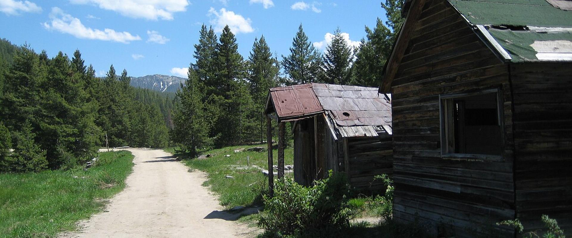
- Garnet Ghost Town: an 1890s gold camp about 40 miles east of Missoula, run by the BLM. The visitor centre opens May to September; day use is $10 per person. From January to April the road is closed to wheeled vehicles and becomes a snowmobile and ski trail.
- Granite Ghost Town: silver-boom ruins at about 7,000 feet above Philipsburg. Open Memorial Day to September 30; the 4-mile road is narrow and steep and needs a high-clearance vehicle.
Bob Marshall Wilderness
"The Bob" covers about 1 million acres, and with the adjoining Great Bear and Scapegoat wildernesses about 1.5 million. It was designated under the Wilderness Act in 1964. Its best-known feature, the Chinese Wall, is an escarpment about 22 miles long and averaging about 1,000 feet high on the Continental Divide.
- Access: on foot or horseback only; bicycles and motors are banned. Trailheads are reached from Augusta, Choteau and Dupuyer on the east side and from Swan Lake, Seeley Lake, Lincoln and Hungry Horse on the west. The Chinese Wall is a multi-day trip from any trailhead.
- Bears: the Forest Service says grizzly density here is higher than anywhere in the US outside Greater Yellowstone and Alaska, and food storage orders apply. See our hiking guide.
- Season: high trails are usually clear of snow from July to September; autumn is hunting season.
Kootenai Falls and the Yaak
In the wet north-west corner, Libby and Troy sit on the Kootenai River.
- Kootenai Falls: the Forest Service parking area is on US-2 at mile marker 21, about 12 miles west of Libby and 6 miles east of Troy. A trail of about half a mile leads to an overlook and, via steps over the railway, to a swinging footbridge first built by the Civilian Conservation Corps in the 1930s. The Kootenai people regard the falls as sacred. Stay off wet rocks; the river is powerful.
- The Yaak: the Yaak River valley north of Troy is one of the emptiest corners of the state; the community of Yaak had 338 people in 2020. Expect gravel side roads, no cell signal and few services, and carry bear spray: this is grizzly country. Yaak is about 40 miles from Troy.
Kalispell to Libby is about 90 miles.
Before you go
- Check fwp.mt.gov or the BLM page for closures before driving to a remote site.
- Do not take dirt or clay roads after rain; wait for them to dry.
- Fill up at every town and carry water, food and a paper map.
- Expect no phone signal; see our cell coverage guide and consider a satellite messenger.
- Leave fossils, artefacts and old mining relics where they are.
Details checked October 2026.