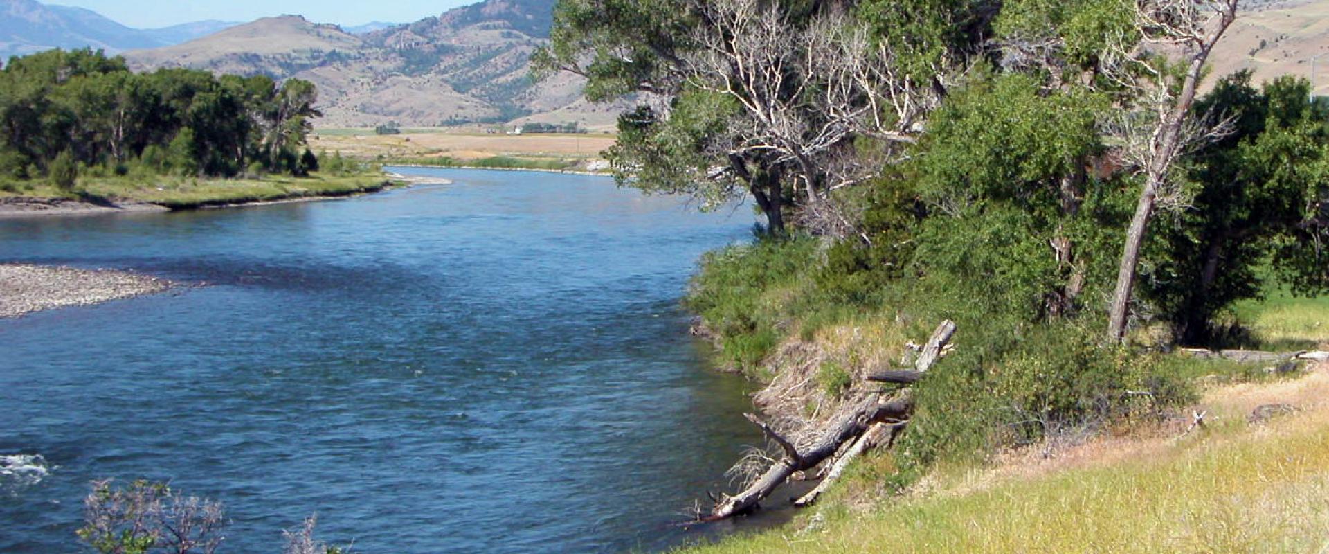
Driving is how almost everyone sees Montana. The state covers about 147,000 square miles, and the drives between its best-known places are long. Missoula to Billings is about 347 miles on I-90. Kalispell to Bozeman, the usual Glacier-to-Yellowstone transfer, is about 313 miles. Outside the interstates, many roads are two-lane highways, often with long gaps between towns.
This guide gives approximate driving distances between the main towns and covers fuel planning, Montana's speed limits and its high rate of wildlife collisions. It also explains what to expect when renting a car in summer, including one-way fees and the vehicle size limits on Going-to-the-Sun Road. Distances come from a routing engine and are approximate, and real times will be longer with stops, roadworks and summer traffic near the parks.
Driving distances between Montana's main towns
| Route | Distance (about) | Drive time (about) | Main road |
|---|---|---|---|
| Missoula to Kalispell | 124 mi / 200 km | 2.5 h | US-93 |
| Kalispell to West Glacier | 32 mi / 51 km | 45 min | US-2 |
| Missoula to Helena | 115 mi / 186 km | 2 h | I-90, US-12 |
| Missoula to Bozeman | 204 mi / 329 km | 3.5 h | I-90 |
| Bozeman to Gardiner (Yellowstone North Entrance) | 74 mi / 119 km | 1.5 h | US-89 |
| Bozeman to West Yellowstone | 90 mi / 145 km | 2 h | US-191 |
| Bozeman to Billings | 143 mi / 230 km | 2.5 h | I-90 |
| Helena to Great Falls | 90 mi / 145 km | 1.5 h | I-15 |
| Great Falls to St. Mary (Glacier east) | 157 mi / 252 km | 3 h | I-15, US-89 |
| Billings to Red Lodge | 61 mi / 98 km | 1.5 h | US-212 |
| Billings to Miles City | 145 mi / 233 km | 2.5 h | I-94 |
| Billings to Glasgow | 277 mi / 446 km | 6 h | US-87, US-191 |
| Kalispell to Bozeman | 313 mi / 504 km | 5.5 h | US-93, I-90 |
| Missoula to Billings | 347 mi / 559 km | 6 h | I-90 |
Inside the parks, allow far more time than the distance suggests. Gardiner to Cooke City is only about 56 mi through Yellowstone's Lamar Valley, but it takes around two hours, and longer when bison are on the road.
Fuel and services: plan for the gaps
In western Montana and along I-90, I-15 and I-94, towns with fuel are rarely far apart. East of the mountains, the distances grow. Miles City to Jordan is about 84 mi on MT-59 with almost nothing in between. Lewistown to Malta on US-191 is about 143 mi, and Havre to Shelby on US-2 is about 103 mi.
- Fill up at half a tank anywhere east of Great Falls, Lewistown or Billings.
- Small-town stations may close in the evening or on Sundays, so don't count on 24-hour pumps.
- Inside Glacier and Yellowstone, fuel is limited and costs more. Fill up in West Glacier, St. Mary, Gardiner or West Yellowstone before you go in.
- Mobile coverage is patchy in the parks, on the Rocky Mountain Front and across the north-east. Download offline maps before you leave town.
Speed limits and road rules
Montana's statutory limits (MCA 61-8-303) are:
- 80 mph on interstates outside urban areas of 50,000+ people.
- 65 mph on interstates inside those urban areas.
- 70 mph by day and 65 mph at night on other public highways. Daytime counts from half an hour before sunrise to half an hour after sunset.
- 70 mph on interstates and 65 mph elsewhere for heavy trucks.
Posted signs override these figures, and limits in towns, construction zones and the national parks are much lower. Most park roads are posted at 45 mph or less. All of Montana is on Mountain Time. Coming from Spokane or Idaho's panhandle, you move one hour ahead.
Wildlife collisions
Montana ranks second in the US for the odds of hitting an animal. State Farm's claims data for July 2025 to June 2026 puts the odds at 1 in 54, against 1 in 145 nationally, behind only West Virginia. Deer cause most of these crashes, but elk, moose, pronghorn, bison and livestock on open range all reach the road.
- Risk is highest at dawn and dusk and in autumn, during the rut and the hunting season.
- Where you see one deer, expect more behind it.
- Brake firmly in a straight line rather than swerving. Swerving into oncoming traffic or off the road usually causes worse crashes than the collision itself.
- Watch for cattle on unfenced open range, especially at night on two-lane highways.
- In Yellowstone, never drive around or nudge bison on the road. Wait for them to move.
Renting a car in summer
Rental demand peaks from late June to early September, when Glacier and Yellowstone are fully open and flights into BZN and FCA are full. Practical points:
- Book with your flights. Airport fleets at Kalispell and Bozeman are small for the July–August demand, so last-minute cars can be scarce or expensive.
- Compare airports. Fares and rental rates differ between BZN, FCA and MSO. A cheaper car at Missoula can be worth the extra drive.
- Check the gravel clause. Many rental contracts restrict driving on unpaved roads, and plenty of trailheads and fishing access sites are on gravel.
- Check after-hours returns. Some rental counters near the parks don't accept returns after closing.
- Consider ground clearance only if you need it. A normal car handles the paved routes to all the main sights in summer.
One-way rentals and the two-park trip
Many visitors fly into Kalispell for Glacier and out of Bozeman after Yellowstone. Rental companies usually add a one-way or drop fee when you return a car to a different location. The fee varies by company, season and route, and it is not always shown until late in the booking process. Set the drop-off location when you book, because changing it later can be costly or impossible. Compare that fee against flying round-trip into one airport and driving back. Kalispell to Bozeman is about 313 mi, so a loop adds roughly a day of driving.
If you plan to rent an RV or tow a trailer, check the vehicle rules for Going-to-the-Sun Road. Vehicles or combinations longer than 21 ft (including bumpers) or wider than 8 ft (including mirrors) are banned between Avalanche Creek and Rising Sun. Vehicles taller than 10 ft may hit rock overhangs between Logan Pass and the Loop.
Classic road trips
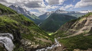
- Glacier loop: Whitefish to West Glacier, over Logan Pass to St. Mary, and back via US-2 over Marias Pass. Going-to-the-Sun Road's alpine section opens only in summer: in 2026 from June 22 until it closed for snow on October 9.
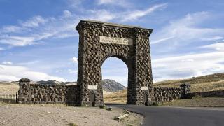
- Yellowstone's Montana side: Bozeman to Gardiner and the Roosevelt Arch, through Lamar Valley to Cooke City, then over the Beartooth Highway (68 mi) to Red Lodge. The Beartooth runs only from late May to mid-October.
- Southwest history loop: Helena to Butte and Anaconda, then Virginia City and Ennis.
- Eastern plains: Billings to Hardin and the Little Bighorn Battlefield, then Miles City on I-94.
Before you go
- Reserve a rental car at the same time as your flights for June to September.
- If you plan a one-way trip, set the drop-off at booking and compare the drop fee against a loop.
- Download offline maps, and fill your tank at half full east of the Rockies.
- Plan your longest drives for midday so you aren't on rural roads at dawn or dusk.
- Check road status at 511mt.net and park road pages on nps.gov before driving mountain routes.
Details checked October 2026.