Mount Sentinel M Trail
Eleven switchbacks up to the University of Montana's concrete M, 620 feet above town
- Admission
- Free (campus parking may require a permit or fee on weekdays during term).
- Hours
- Open all year, dawn to dusk in practice; no posted hours found.
- Where
- Missoula, Missoula & the Bitterroot Valley
- Directions
- Directions
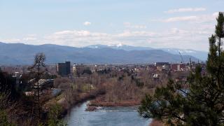
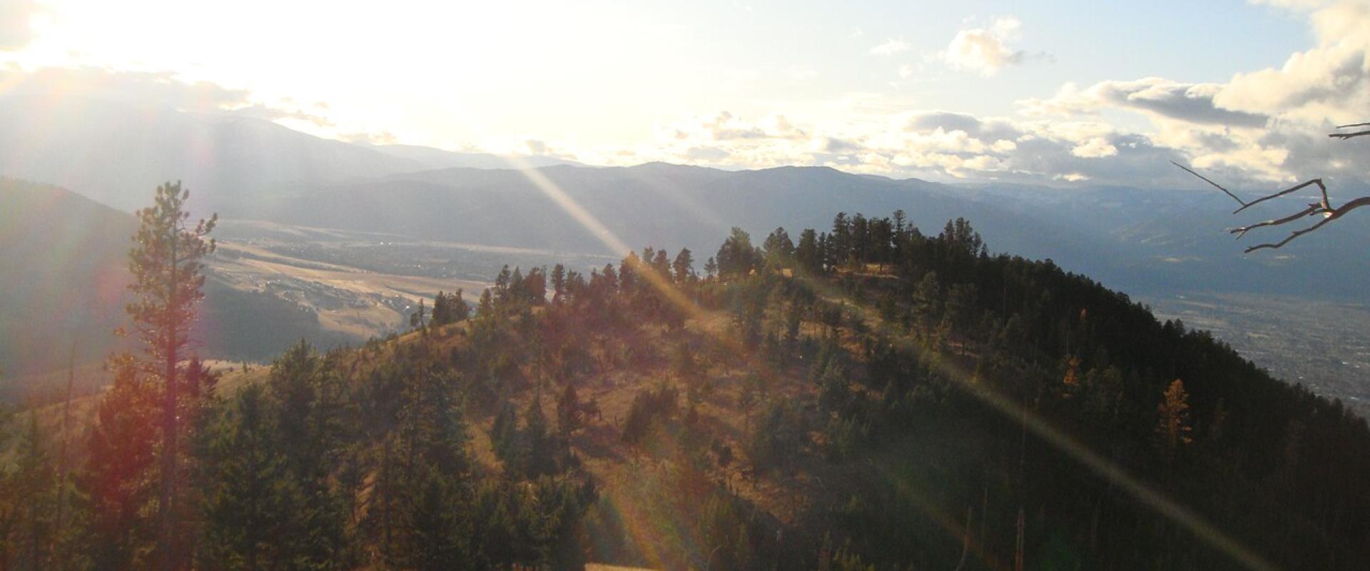
The M Trail is Missoula's best-known short climb. It zigzags up the west face of Mount Sentinel, directly behind the University of Montana campus, to the big concrete "M" that is visible across much of the city. It is about three-quarters of a mile with 11 switchbacks and about 620 feet of climbing, steep enough that many local athletes use it for training. From the letter you look over the campus, downtown, the Clark Fork River and the whole Missoula Valley.
The trail goes back to 1908, when members of the university's Forestry Club cut a zigzag path up the slope and students carried up stones to build the first M. A wooden M followed in 1912 and was wrecked by wind, and a larger whitewashed rock M went up in 1915, which first-year students repainted every year. In 1968 it was replaced by the present concrete letter, about 125 by 100 feet. Since 1919 the outline has been lit with lanterns at homecoming, a tradition that continues.
The slope also records the Ice Age. Between about 15,000 and 13,000 years ago a glacier dammed the Clark Fork and backed up Glacial Lake Missoula, which filled the valley; when the ice dam failed, the water rushed west at 30 to 50 mph. Its old shorelines show as faint horizontal lines on Mount Sentinel and on Mount Jumbo across Hellgate Canyon.
You can turn around at the M, or keep climbing about another mile to the 5,158-foot summit of Mount Sentinel, about 1.75 miles from the start. From the top you can see north to Mount Jumbo and the Rattlesnake Wilderness and south to the Bitterroot Mountains, then return the same way or descend by Crazy Canyon toward Pattee Canyon, or by the Hellgate Canyon Trail to the Kim Williams Trail along the river. Much of the mountain is public land: the City of Missoula bought 475 acres in 2000, and the Forest Service owns 441 acres.
Practical tip: the trailhead is at the east edge of campus, where parking is limited and some spaces need a university permit on weekdays during term, so walk or cycle from downtown if you can. Keep dogs on a leash. Start early on summer days, because the open west-facing slope gets hot in the afternoon.
Categories
More photos coming soon
Hours & Fees
- Open
- Open all year, dawn to dusk in practice; no posted hours found.
- Admission
- Free (campus parking may require a permit or fee on weekdays during term).
Hours and prices change, especially out of season. Check with the venue before you go.
Nearby Attractions
Other places to visit in Missoula
Garnet Ghost Town
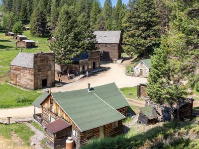
1890s gold camp in the Garnet Range, 40 miles from Missoula, with winter-only cabins
From $10 Historic Sites · Ghost Towns
Historical Museum at Fort Missoula
1877 army post with a WWII internment camp story and 20-plus historic buildings
From $3 Historic Sites · Museums
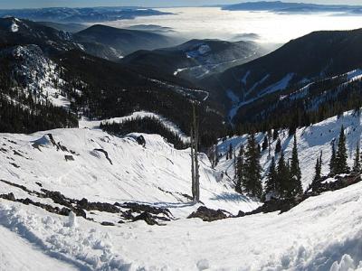
Montana Snowbowl
Missoula's local ski hill: 2,600 feet of vertical, 12 miles from town, old-school lifts
From $10 Outdoor Recreation · Ski Areas
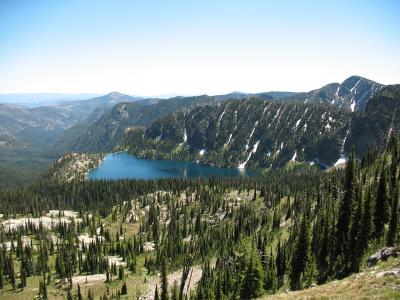
Rattlesnake National Recreation Area and Wilderness
Wilderness trailhead 5 miles from downtown Missoula, with a creekside path and high lakes
Outdoor Recreation · Wildlife Viewing
Questions people ask
Quick Facts
Free (campus parking may require a permit or fee on weekdays during term).
Best Time to Visit
June to September for hiking, rivers and Glacier day trips; December to March for skiing at Montana Snowbowl.