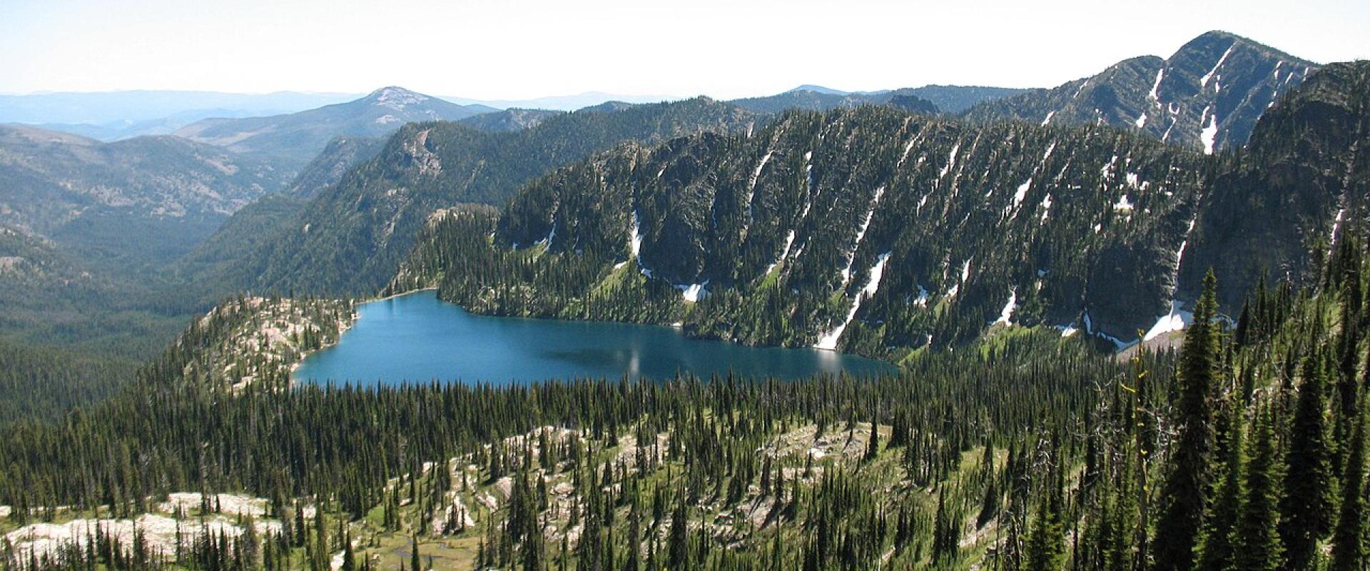
Rattlesnake National Recreation Area and Wilderness
Wilderness trailhead 5 miles from downtown Missoula, with a creekside path and high lakes
- Admission
- No entrance fee listed by the Forest Service or Visit Montana.
- Hours
- Open all year; seasonal dog closures from December 1 (see FAQ).
- Where
- Missoula, Missoula & the Bitterroot Valley
- Directions
- Directions
The Rattlesnake is Missoula's back yard: a national recreation area and wilderness whose main trailhead is only about 4.5 miles north of the city on Rattlesnake Drive. Congress created both on October 19, 1980. The national recreation area covers about 28,000 acres of the lower Rattlesnake Creek drainage, and the adjoining Rattlesnake Wilderness protects about 33,000 acres of high country, for a combined total of roughly 61,000 acres. Both are managed by the Lolo National Forest.
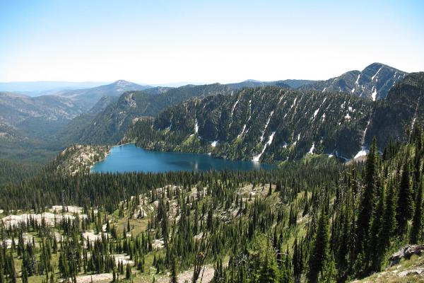
Most visitors use the lower half. A wide, gentle path along the old road follows Rattlesnake Creek upstream from the main trailhead, and side trails climb into Spring Gulch, Sawmill Gulch, Curry Gulch and toward Stuart Peak, which guards the southern edge of the area. The trail network totals more than 73 miles, used by walkers, runners, horse riders, mountain bikers and, when there is snow, cross-country skiers; the Missoula Nordic Ski Club grooms the main corridor from the trailhead to Franklin Bridge. Further up, the wilderness holds more than 30 small mountain lakes, McLeod Peak at 8,620 feet, transplanted mountain goats and the occasional grizzly.
The Salish used the Rattlesnake Divide country for vision quests. Today the main creek is catch-and-release above the mouth of Beeskove Creek, and several of the high lakes are stocked. Overnight camping is allowed only more than 3 miles from the main trailhead, and parties are limited to 10 people and 10 head of stock. Motorised vehicles are not allowed, and bicycles may be ridden only on designated trails and not past the wilderness boundary.
Dog rules catch out many visitors and vary by place and season. Dogs are not allowed in Sawmill and Curry gulches at any time. In winter (December 1 to March 1) they are barred from the lower main corridor, to protect wintering elk and keep waste out of the creek, and Spring Gulch and the Stuart Peak trail are closed to dogs from December 1 to mid-May. Leash rules apply near the trailhead; follow the posted signs.
Practical tip: the main lot is busy, especially on summer weekends, so go early or come by bike along Rattlesnake Drive. There are accessible toilets at the trailhead and another toilet about 1.5 miles up the main corridor.
Categories
More photos coming soon
Hours & Fees
- Open
- Open all year; seasonal dog closures from December 1 (see FAQ).
- Admission
- No entrance fee listed by the Forest Service or Visit Montana.
Hours and prices change, especially out of season. Check with the venue before you go.
Nearby Attractions
Other places to visit in Missoula
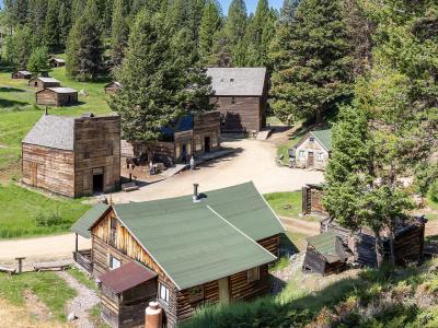
Garnet Ghost Town
1890s gold camp in the Garnet Range, 40 miles from Missoula, with winter-only cabins
From $10 Historic Sites · Ghost Towns
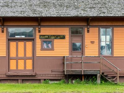
Historical Museum at Fort Missoula
1877 army post with a WWII internment camp story and 20-plus historic buildings
From $3 Historic Sites · Museums
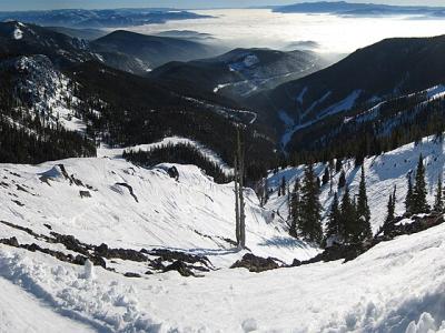
Montana Snowbowl
Missoula's local ski hill: 2,600 feet of vertical, 12 miles from town, old-school lifts
From $10 Outdoor Recreation · Ski Areas
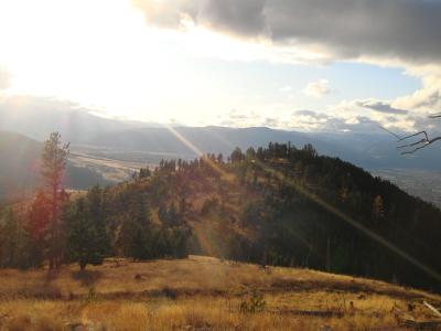
Mount Sentinel M Trail
Eleven switchbacks up to the University of Montana's concrete M, 620 feet above town
Free Hiking Trails · Mountain Peaks
Questions people ask
Quick Facts
No entrance fee listed by the Forest Service or Visit Montana.
Best Time to Visit
June to September for hiking, rivers and Glacier day trips; December to March for skiing at Montana Snowbowl.