Mount Helena City Park
A 5,468-ft summit with trails that start a few blocks from Last Chance Gulch
- Admission
- Free
- Hours
- Open year-round; individual trails occasionally close for maintenance or fuel-reduction wo...
- Where
- Helena, Helena, Butte & Southwest Montana
- Directions
- Directions
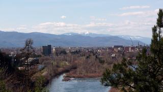
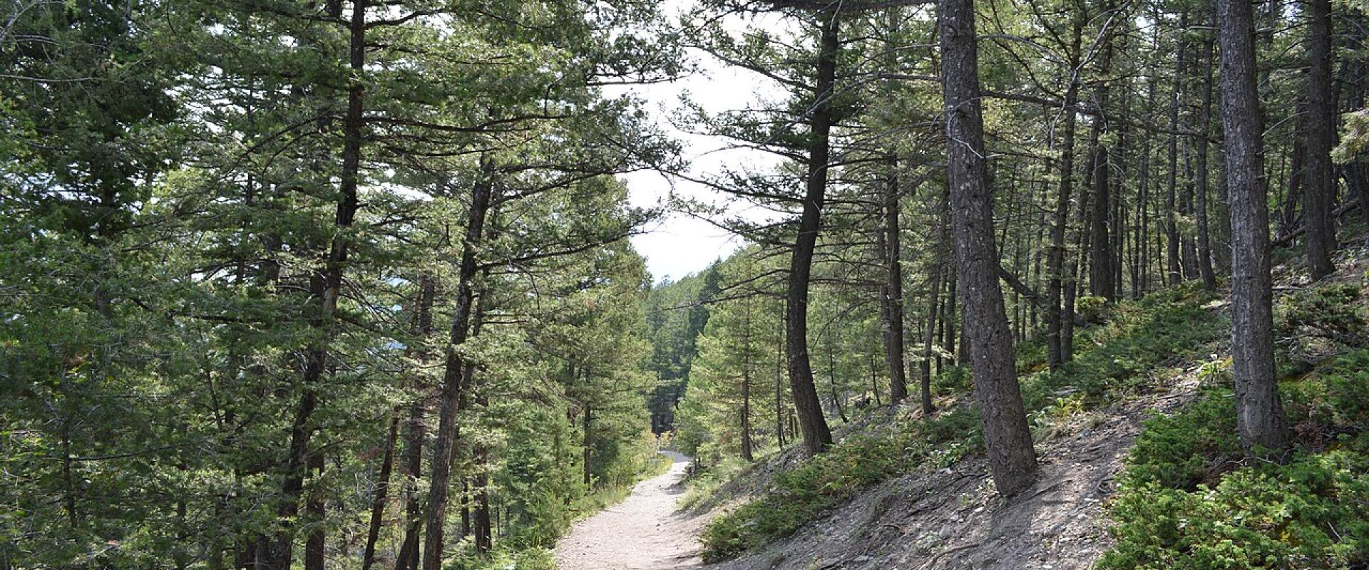
Mount Helena City Park is the forested mountain that rises directly behind downtown Helena, and few state capitals have anything like it. The summit stands at 5,468 feet, about 1,300 feet above the Last Chance Gulch walking mall, and the park's trails begin at the edge of the historic district. Wikipedia gives the core park as about 620 acres; with later additions, the Prickly Pear Land Trust now describes a park of around 900 acres crossed by more than 40 trails.
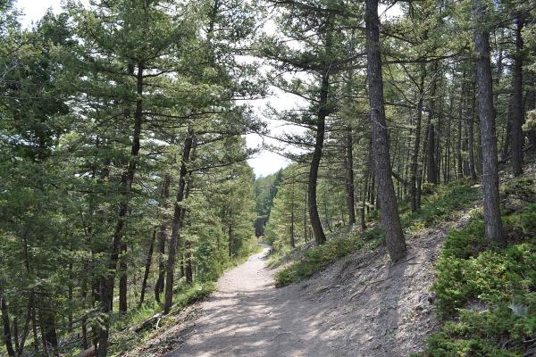
The classic climb is the 1906 Trail, the easiest way to the top. It passes limestone caves, including one nicknamed the Devil's Kitchen, before reaching the summit and its view over the city, the Helena Valley and the surrounding ranges. The city estimates about two hours to the summit at moderate difficulty. The Powerline Trail is the most direct route but steep and awkward to come down; many walkers go up the 1906 Trail and return by the Hogback Trail. The Prairie, Backside and Prospector Shafts trails make longer loops, and the West End Trail links to the Mount Helena Ridge Trail in the Helena National Forest, which continues south-west toward Park City. Some of the limestone near the 1906 Trail has sport-climbing routes, and the large letter H on the mountainside is a city landmark.
The bare slopes you see in old photographs are real: from the 1860s miners cut the mountain's timber for fuel, buildings and sluice boxes. The first official trail, now called the 1906 Trail, was built in 1903, and in 1906 about 30,000 trees were planted with the backing of the Helena Improvement Society and the new Forest Service. Helena schoolchildren had already planted seedlings on Arbor Day 1899. The park was listed on the National Register of Historic Places in 1997. In 2019 the Prickly Pear Land Trust added 145 acres along Le Grande Cannon, and new trails were built there in 2022.
Use is non-motorized (adaptive equipment excepted); hiking, running and mountain biking are all common, while horses, camping, hunting and shooting are not allowed. Dogs are welcome but must be leashed within 100 yards of the trailhead. The city occasionally closes individual trails for beetle-kill removal and fuel-reduction work, as it did in parts of the park in 2025, so check the City of Helena Open Lands page before a long loop.
In October expect cold mornings, and in winter the trails can alternate between mud and ice; microspikes are useful. Carry water: there is none on the mountain. The main trailhead, with parking and a map kiosk, is at the top of Reeders Village Drive, a short walk from Reeder's Alley.
Categories
More photos coming soon
Hours & Fees
- Open
- Open year-round; individual trails occasionally close for maintenance or fuel-reduction work.
- Admission
- Free
Hours and prices change, especially out of season. Check with the venue before you go.
Nearby Attractions
Other places to visit in Helena
Cathedral of St. Helena
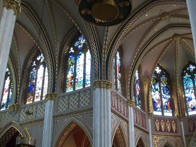
Twin 230-foot spires modelled on Vienna's Votivkirche, with Munich stained glass
Free Architectural Landmarks · Religious Sites
Gates of the Mountains
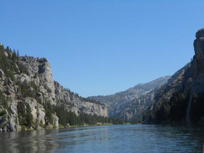
Two-hour Missouri River boat trip through the limestone canyon Lewis named in 1805
Natural Wonders · Wildlife Viewing
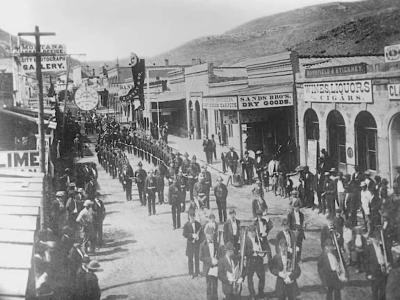
Last Chance Gulch
Helena's main street follows the 1864 gold gulch that started the city
Free Historic Sites · Historic Buildings

Montana State Capitol
Copper-domed 1902 statehouse with a 25-foot Charles M. Russell mural in the House chamber
Free Architectural Landmarks · Historic Sites
Questions people ask
Quick Facts
Best Time to Visit
June to September, when the Gates of the Mountains boat tours run and the trails above town are clear of snow.