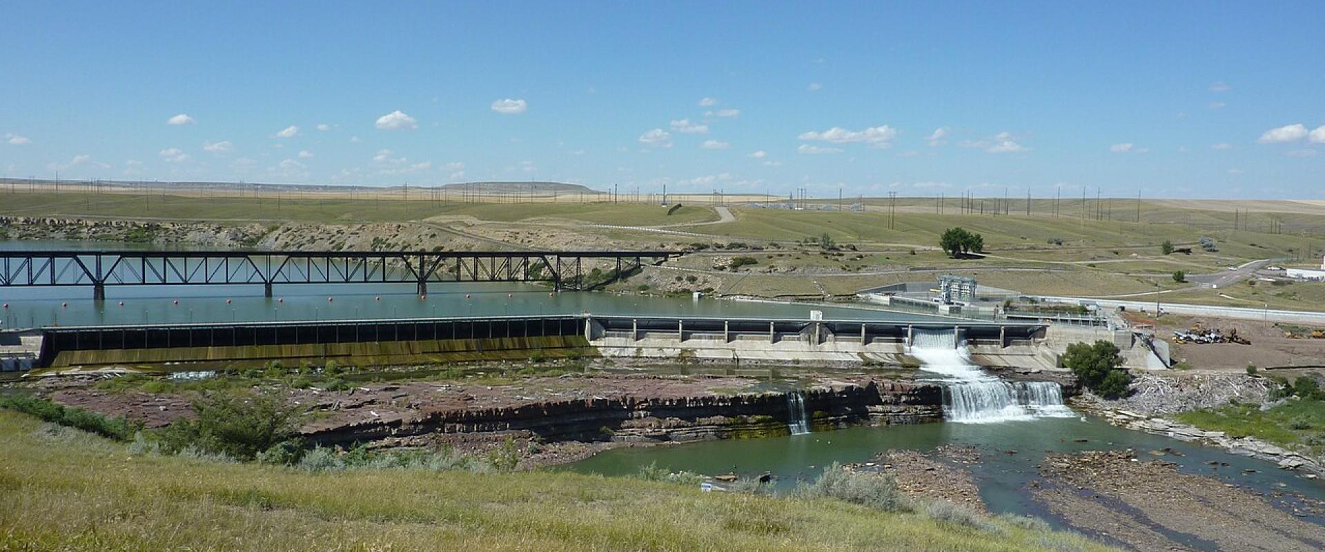
Great Falls of the Missouri
Five waterfalls and four dams on 10 miles of the Missouri, seen from overlooks and trail
- Admission
- Free
- Hours
- Overlooks and trail are open year-round in daylight. Ryan Island Park is seasonal (histori...
- Where
- Great Falls, Great Falls & Central Montana
- Directions
- Directions
The city of Great Falls takes its name from a series of five waterfalls on the Missouri River that stopped the Lewis and Clark Expedition in 1805. Along a stretch of about 10 miles the river drops a total of 612 feet. From upstream to downstream the falls are Black Eagle, Colter, Rainbow, Crooked and the Great Falls itself, also called Big Falls. Four of them now have hydroelectric dams on or beside them, which is why Great Falls is nicknamed the Electric City, but the falls can still be seen from overlooks and from the River's Edge Trail.
Black Eagle Falls, closest to downtown, is about 26 feet high. Black Eagle Dam, first built here in 1890, was the first hydroelectric dam in Montana and on the Missouri, and the present concrete dam dates from 1926–27. Lewis named the falls for an eagle nesting on an island below them. Rainbow Falls, about 44 feet, lies under Rainbow Dam (1910); an overlook on Giant Springs Road looks over it, and Colter Falls, about 6 feet, is now submerged in the reservoir above. Crooked Falls, about 19 feet high, is the only one with no dam and can only be reached on foot or by bike along the trail. The Great Falls, about 87 feet in Lewis's day, is now topped by Ryan Dam (1915).
Meriwether Lewis reached the Great Falls on 13 June 1805, called the scene "the grandest sight I ever beheld", and spent the next day finding the other four. The expedition's portage around the falls took nearly a month.
The easiest way to see them is a drive and a walk. Black Eagle Falls is visible from the riverside in town and from Black Eagle Memorial Island Park. Rainbow Falls overlook is about 6 miles from downtown, past Giant Springs State Park. For the Great Falls, drive about 14 miles north-east to Ryan Dam, where a suspension bridge crosses to Ryan Island Park, the best viewpoint; NorthWestern Energy opens the island seasonally, historically from Mother's Day to Labor Day, so in winter you may only see the falls from the road end. Spring runoff, usually May and June, gives the most water over the falls.
Categories
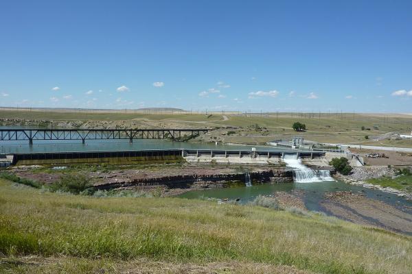
More photos coming soon
Hours & Fees
- Open
- Overlooks and trail are open year-round in daylight. Ryan Island Park is seasonal (historically Mother's Day to Labor Day, daylight hours).
- Admission
- Free
Hours and prices change, especially out of season. Check with the venue before you go.
Nearby Attractions
Other places to visit in Great Falls
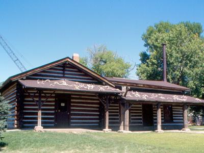
C.M. Russell Museum
Charles M. Russell's paintings, his 1903 log cabin studio and his home in Great Falls
From $7 Historic Sites · Museums
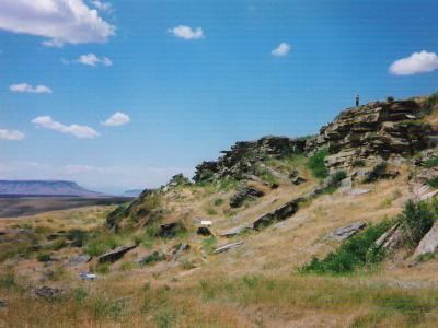
First Peoples Buffalo Jump State Park
A mile-long sandstone cliff where bison were driven to their deaths for a thousand years
From $4 Historic Sites · State Parks
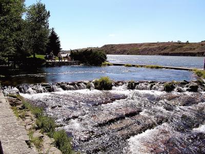
Giant Springs State Park
A spring pouring out 156 million gallons a day beside the Missouri, open all year
From $4 Natural Wonders · State Parks
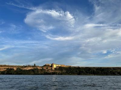
Lewis and Clark National Historic Trail Interpretive Center
Forest Service museum of the 1805 portage, closed for renovation until 1 April 2027
Historic Sites · Museums
Questions people ask
Quick Facts
Best Time to Visit
May to September, when trails, state parks and museums keep full hours.