Columbia Falls
Former aluminium town on the Flathead River, 17 miles from Glacier
History Settlers arrived in 1891, ahead of the Great Northern Railway, and the town incorporated on 26 April 1909. "Falls" was added to the name to avoid confusion with Columbus, Montana. St. Richard's Church dates from that first year, and the Montana Veterans Home has cared for veterans here since 1896; its Soldiers' Home Historic District dates from 1895. The 20th-century town was built on cheap hydro power. Hungry Horse Dam was completed upstream on the South Fork of the Flathead in 1953, and in 1955 the Anaconda Copper Mining Company opened the Columbia Falls Aluminum Company smelter beside Teakettle Mountain to use its electricity. Glencore bought the plant in 1999; production stopped for good in October 2009, and the site, about 1,340 acres, was added to the federal Superfund list on 9 September 2016. Clean-up is continuing, and a 78-acre redevelopment is under way within the site boundary.
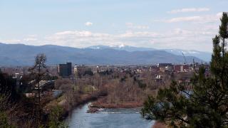
What to See River's Edge Park covers 28 acres with more than 900 feet of river frontage and is the easiest place to get down to the Flathead River in town. The Flathead River Bridge, known locally as the Red Bridge, is a local landmark. St. Richard's Church, built in 1891, and the Soldiers' Home Historic District are both on the National Register of Historic Places. The Columbia Falls Community Market runs on Thursdays from 5 to 8 pm, from the second Thursday in May to the last Thursday in September. Heritage Days is held on the last weekend of July, and the Night of Lights Parade in December.
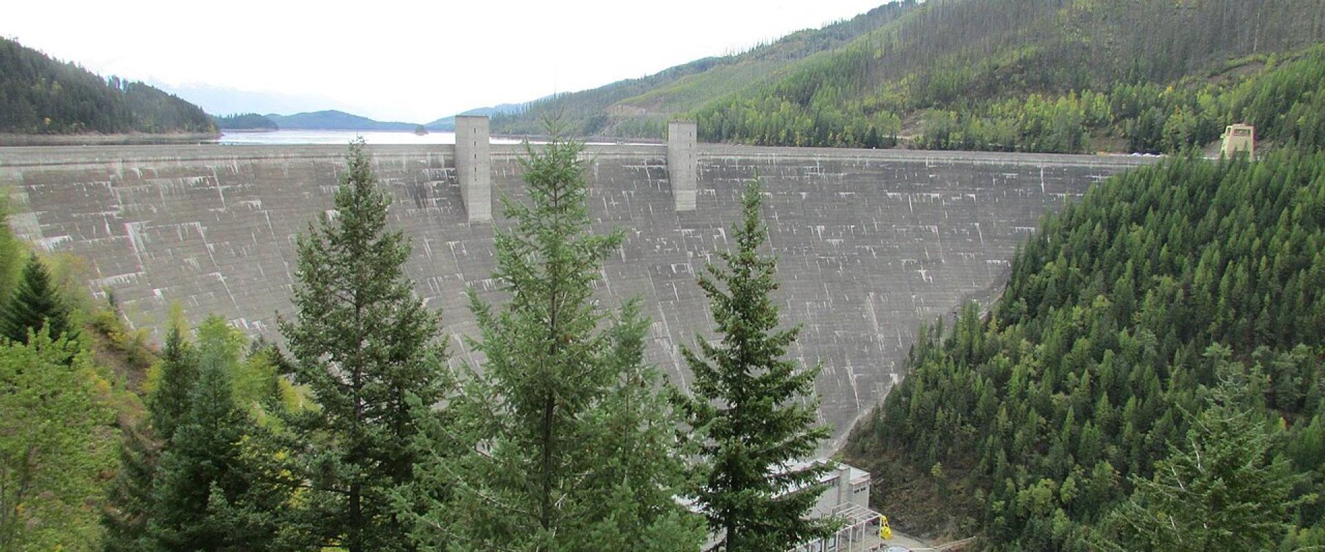
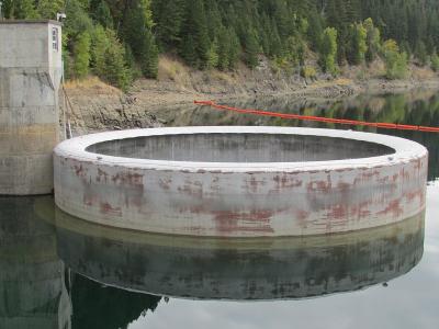
Outdoors Hungry Horse Dam, at the town of Hungry Horse east along US-2, is 564 feet high; when it was completed in 1953 it was the third-largest and second-highest concrete dam in the world. Its morning-glory spillway drops water 490 feet. The road across the dam crest is open, but the Bureau of Reclamation visitor centre has been closed since September 2025 and offered no tours in 2026. The Flathead National Forest begins about a mile from town, and the Middle Fork of the Flathead, which forms Glacier's southern boundary, is the river used by rafting outfitters based in West Glacier.
Getting There Glacier Park International Airport (FCA) is about 8 miles south. Kalispell is about 15 miles away, and the nearest Amtrak stops are Whitefish and West Glacier. US-2 runs east from Columbia Falls along the Flathead River through Hungry Horse to West Glacier, the park's west entrance, about 17 miles from town.
When to Go July and August are the busiest months, when Going-to-the-Sun Road is fully open; in 2026 it opened on 22 June and it usually stays open until the third Monday of October. The farmers' market runs from May to September and Heritage Days falls at the end of July. In winter the town is a quieter base for skiing at Whitefish Mountain Resort, while the Hungry Horse Dam visitor centre's hours change with the season.
Best time to visit
July to early September, when Going-to-the-Sun Road is open and the Thursday market and Heritage Days are on.
What to see in Columbia Falls
Our picks first.
Columbia Falls by interest
The same sights, grouped by what you came for.
Planning a visit to Columbia Falls
Good to know
- Currency
- USD
- Language
- English