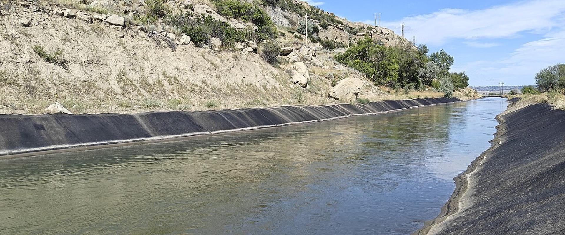
Swords Rimrock Park and Black Otter Trail
Sandstone cliff-top park over Billings, with Yellowstone Kelly's grave on the rim
- Admission
- Free
- Where
- Billings, Billings & Southeast Montana
- Directions
- Directions
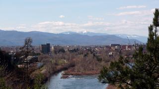
Swords Rimrock Park runs along the top of the Rimrocks, the sandstone cliffs that rise behind downtown Billings, and is the easiest place to see the city laid out below. The park takes its name from George Sword, who deeded the rim-top land to the city around 1930, and it is crossed by the Black Otter Trail, a scenic road about two and a half miles long that follows the cliff edge. A paved path for walking, running and cycling runs through the park as well.
The views are the main draw: the city, the Yellowstone River valley and, on clear days, mountain ranges in the distance. Along the road are pull-offs, old stone markers and remnants of the original guard rails. At the high point, known as Kelly Mountain, is the grave of Luther S. "Yellowstone" Kelly, a frontier scout and explorer who died in 1928 and asked to be buried in Montana; his body was brought here for burial in 1929, and a granite marker and interpretive site have been added in recent years. Near the eastern end of the trail lies Boothill Cemetery, the National Register-listed cemetery of Coulson, the settlement that preceded Billings.
The rims have a much longer history. For the Crow people they were a gathering place and a site for fasting and vision quests, and historic accounts describe many traditional burials along the cliffs. The road's name honours Black Otter, a Crow chief killed in 1861 and, according to accounts, buried near the park's high point. The road was a long-held civic project: Works Progress Administration crews began work by hand in March 1936, funding ran out within months, and the City of Billings finished the job in 1938. The road and its surroundings now form the Black Otter Trail Historic District.
The park is free and open to cars, walkers and cyclists, and Billings Logan International Airport sits on the same rimrock plateau. The paved path is the simplest walk, and sunset is the favourite time, when the cliffs turn orange. Stay back from the edge: the sandstone is undercut in places and rockfall is a real hazard on the Billings rims. In winter the road can be icy. Sources disagree on the length of the paved trail (from about two to nearly four miles), so treat it as an easy walk of an hour or two.
Combine the drive with the Moss Mansion or Yellowstone Art Museum downtown, or with Pictograph Cave State Park, a separate site of sandstone cliffs south-east of the city.
Categories
More photos coming soon
Admission Fees
- Admission
- Free
Hours and prices change, especially out of season. Check with the venue before you go.
Nearby Attractions
Other places to visit in Billings
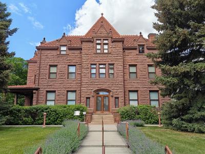
Moss Mansion Historic House Museum
A 1903 red-stone house in Billings with its original furniture, drapes and carpets
From $3 Architectural Landmarks · Museums
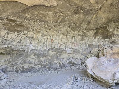
Pictograph Cave State Park
Three sandstone caves on the edge of Billings with rock paintings over 2,000 years old
From $4 State Parks · Caves & Caverns
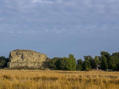
Pompeys Pillar National Monument
Sandstone butte on the Yellowstone carrying William Clark's 1806 signature
From $7 Historic Sites · Natural Wonders
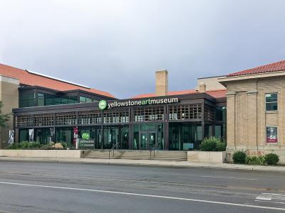
Yellowstone Art Museum
Montana's contemporary art museum, in Billings' 1884 county jail, plus a Visible Vault
From $6 Museums · Historic Buildings
Questions people ask
Quick Facts
Best Time to Visit
May to September, when Pompeys Pillar is in season and the Beartooth Highway to Yellowstone is usually open.