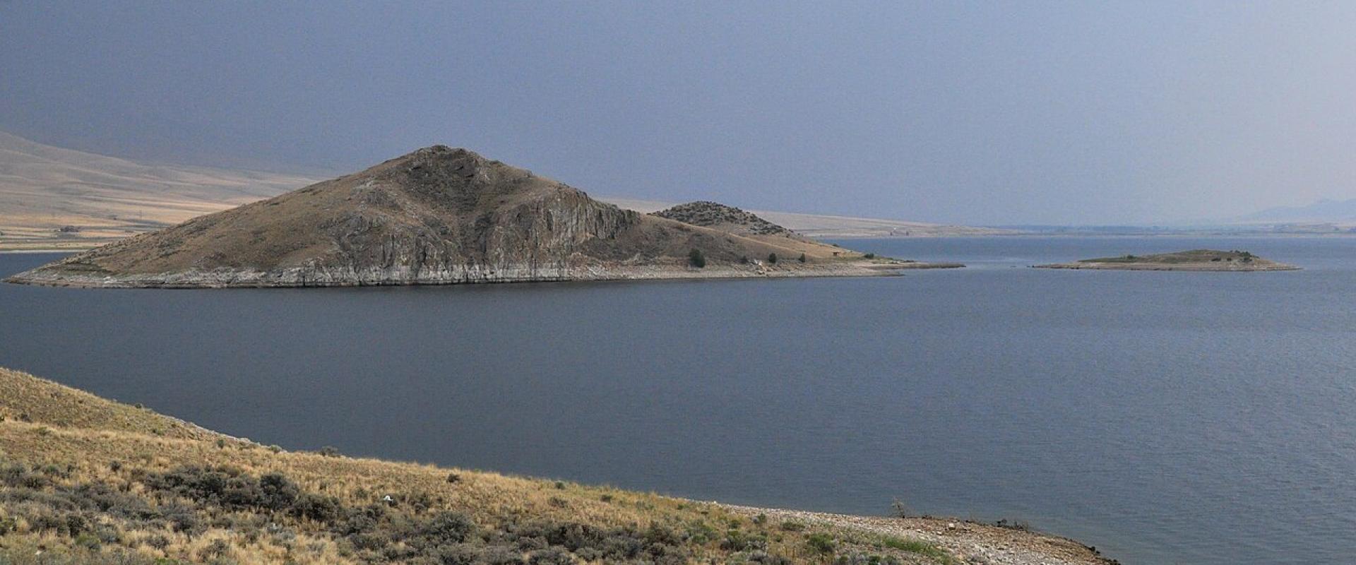
Clark Canyon Reservoir and Camp Fortunate
Trout reservoir over the site where Sacagawea met her brother in August 1805
- Admission
- Free (Reclamation lists no entrance, campground, picnic or boat-launch fees
- Confirm locally)
- Hours
- Open year-round; campgrounds and facilities vary by season.
- Where
- Dillon, Helena, Butte & Southwest Montana
- Directions
- Directions
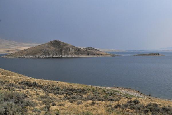
Clark Canyon Reservoir fills a broad sagebrush basin on the Beaverhead River about 20 miles south of Dillon, beside Interstate 15. It is a working irrigation reservoir and a popular trout fishery, but it is also one of the most significant Lewis and Clark sites in Montana: somewhere beneath the water lies Camp Fortunate, where the expedition met the Lemhi Shoshone in August 1805.
On 17 August 1805, Meriwether Lewis returned to the forks of the Beaverhead with a party of Shoshone led by Cameahwait, and William Clark arrived with the canoes. During the council, Sacagawea recognised Cameahwait as her brother; she had been taken from her people as a girl. The expedition stayed for about a week, and the meeting gave it what it badly needed: horses and a guide for the crossing of the Bitterroot Mountains. The explorers also cached canoes and supplies here for the return journey, and they named the spot Camp Fortunate. The Camp Fortunate Overlook, an interpretive site on MT-324 along the north shore, tells the story and looks over the water that now covers the campsite.
The Bureau of Reclamation built Clark Canyon Dam, a 147-foot earthfill dam, between 1961 and 1964 for irrigation and flood control. The reservoir flooded the camp site and the former community of Armstead, and it forced the relocation of the highway and the Union Pacific line. Reclamation lists about 4,935 surface acres and 17 miles of shoreline. The lake holds rainbow and brown trout and is fished from boats and from the shore; below the dam, the Beaverhead River runs north toward Dillon.
Reclamation manages recreation here. There are nine campgrounds with 96 sites in all, four boat ramps plus a low-water ramp, picnic shelters, a swimming beach and the Cattail Marsh nature trail for watching waterfowl. Reclamation's facility table lists no fee for entry, campgrounds, picnic areas or boat launches, and campers have reported first-come, first-served sites with a 14-day limit; check with the Dillon office (406-683-6472) for current rules. Water levels depend on snowpack and irrigation demand and can drop sharply in late summer and in drought years, leaving some ramps high and dry.
The basin is open and windy, with little shade, and it is cold early and late in the year. Bring a Montana fishing licence (and an aquatic invasive species pass if you bring a boat). Bannack State Park, another stop from Dillon, makes a good pairing on a day trip.
Categories
More photos coming soon
Hours & Fees
- Open
- Open year-round; campgrounds and facilities vary by season.
- Admission
- Free (Reclamation lists no entrance, campground, picnic or boat-launch fees; confirm locally).
Hours and prices change, especially out of season. Check with the venue before you go.
Nearby Attractions
Other places to visit in Dillon
Questions people ask
Quick Facts
Free (Reclamation lists no entrance, campground, picnic or boat-launch fees
Confirm locally).
Best Time to Visit
June to September for Bannack, fishing and the Labor Day rodeo; winter only for skiing at Maverick Mountain.